Industries
Industries we serve
- 6Industries
- 6Data types
- 8Projects
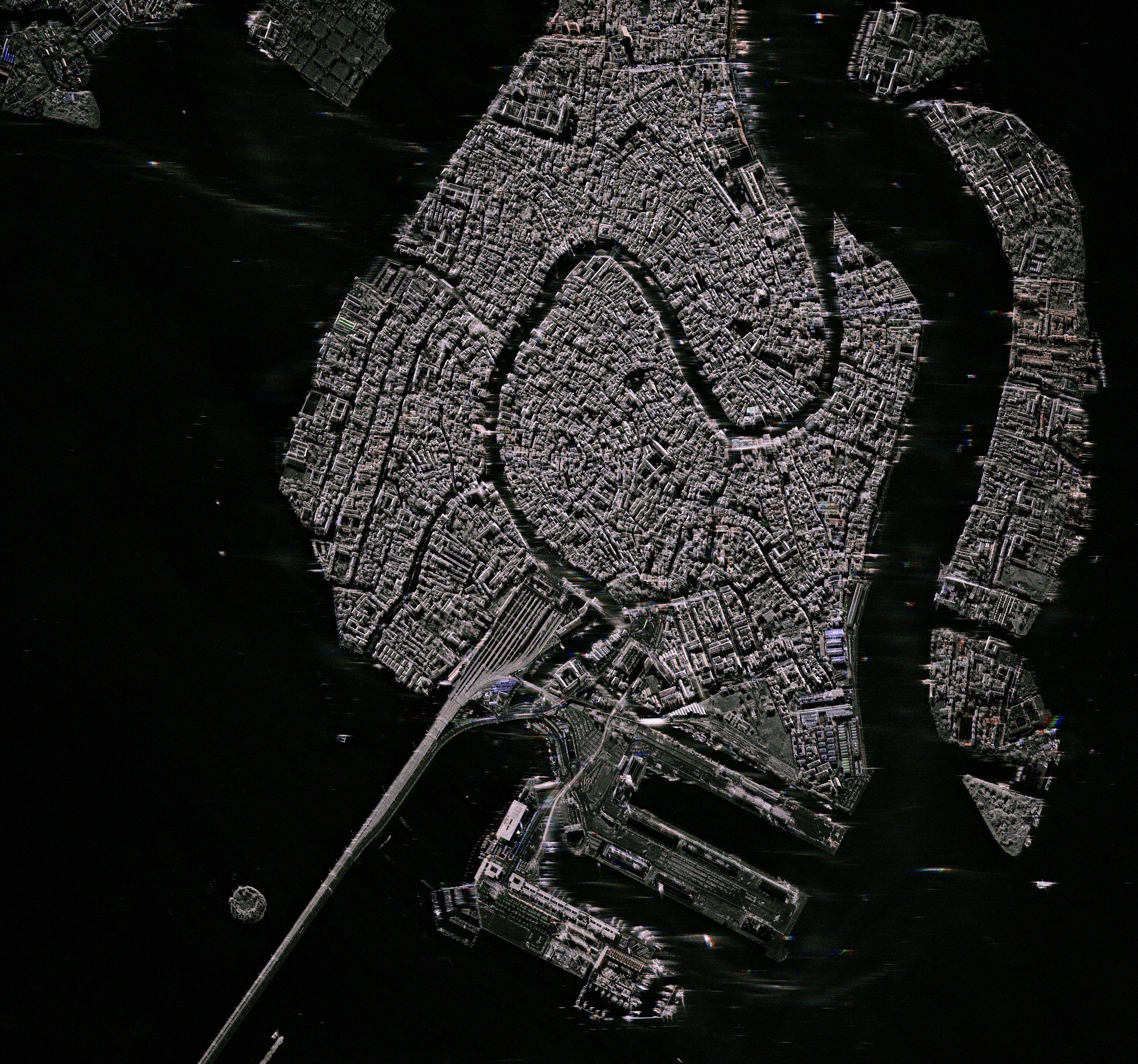
01Defence & securitySite activity · Tactical SAR · Thermal activity · Material identification · Sovereign capacity · Secure delivery
- SAR
- Optical
- Thermal
- Hyperspectral
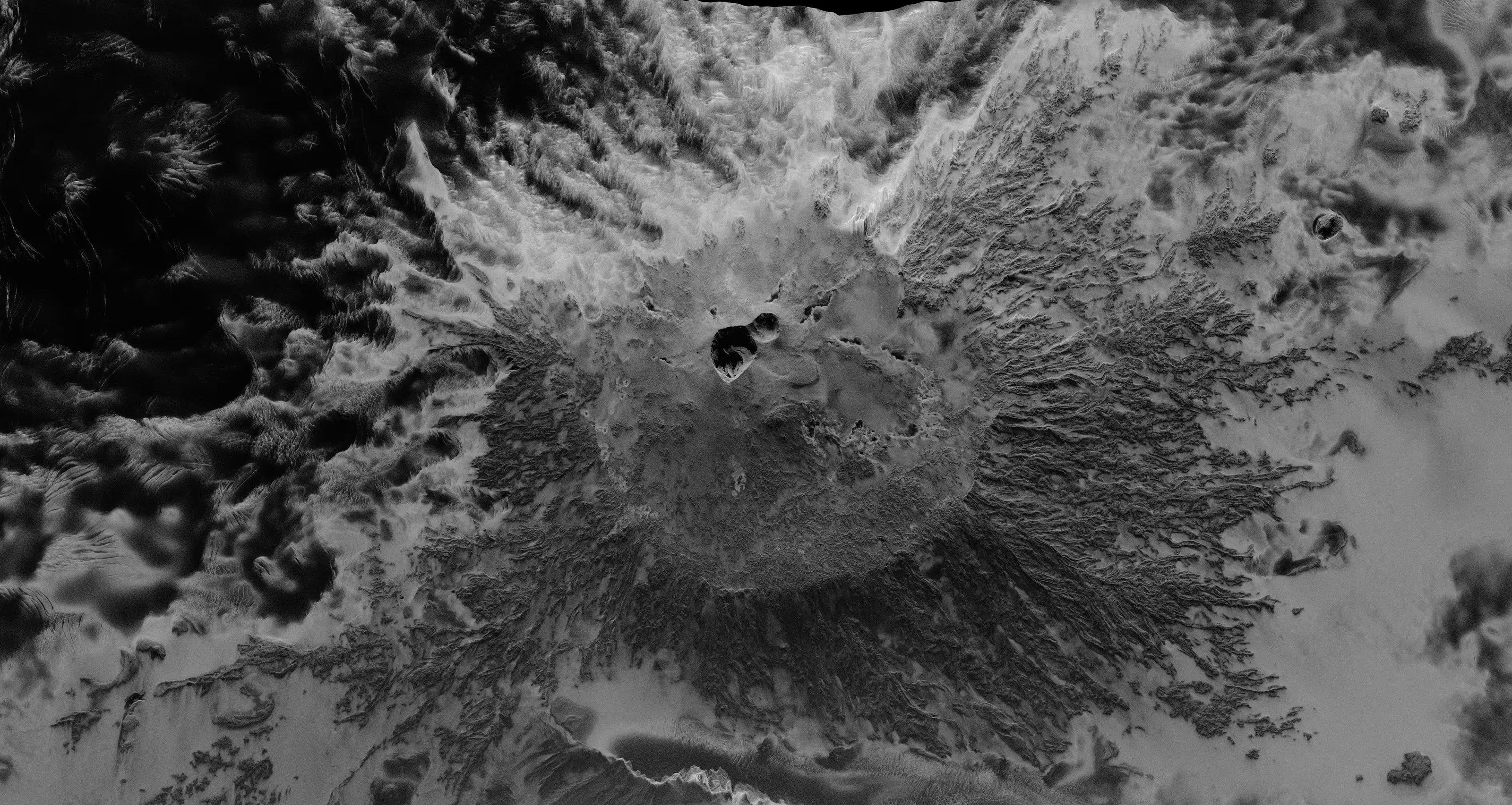
02Civil protectionFlood extent and depth · Wildfire · Damage assessment · Urgent tasking · Before and after · Earthquakes and landslides
- SAR
- Optical
- Thermal
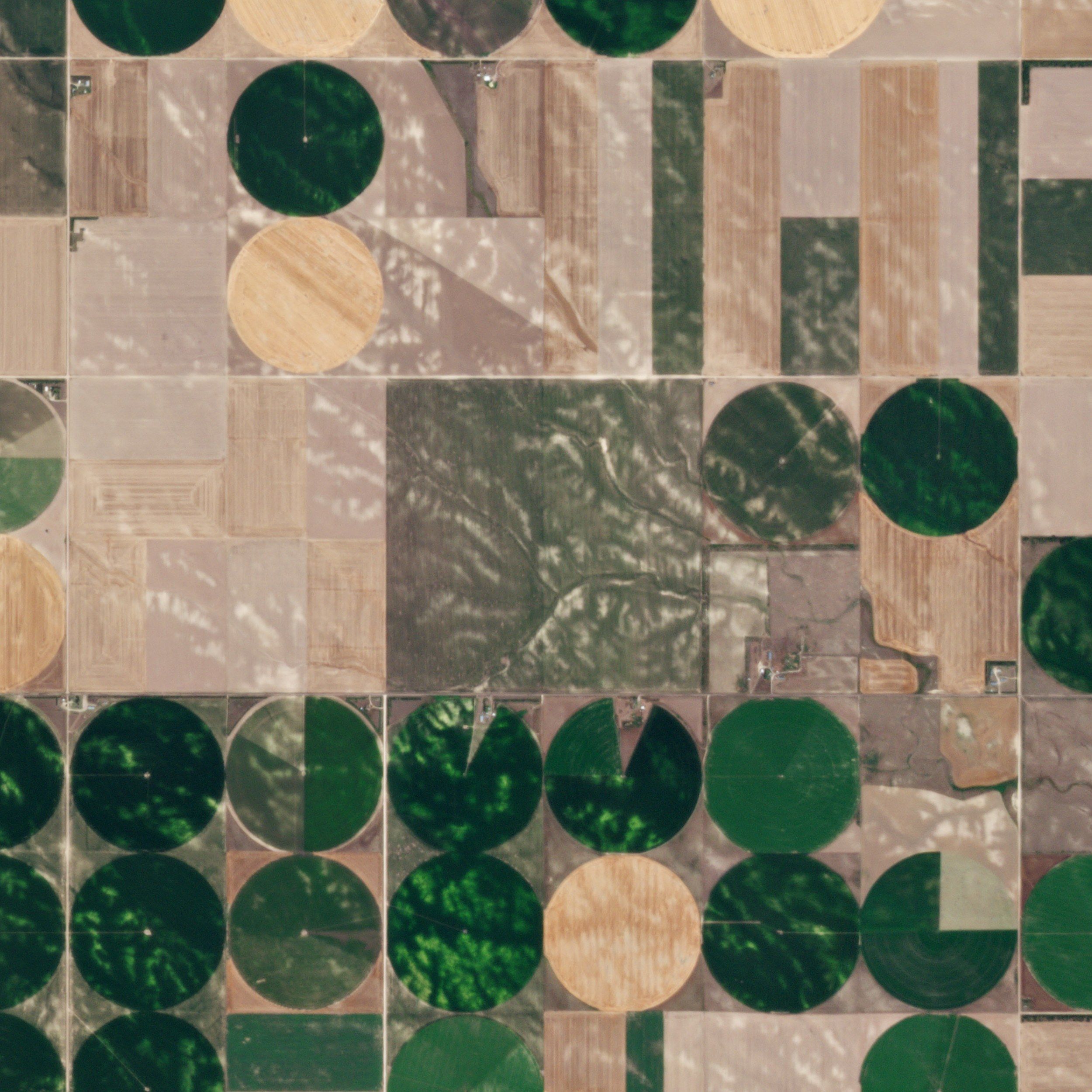
03AgricultureArea monitoring · Crop type and condition · Early stress · Soil · Irrigation · Livestock methane
- Optical
- Hyperspectral
- Thermal
- SAR
- Emissions
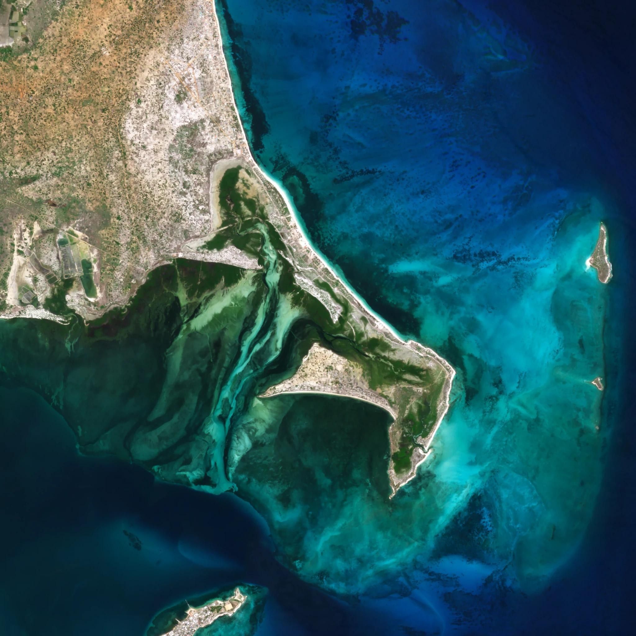
04Environment & waterWater quality · Pollution · Habitats · Coastal change · Drought
- Hyperspectral
- Optical
- Thermal
- SAR
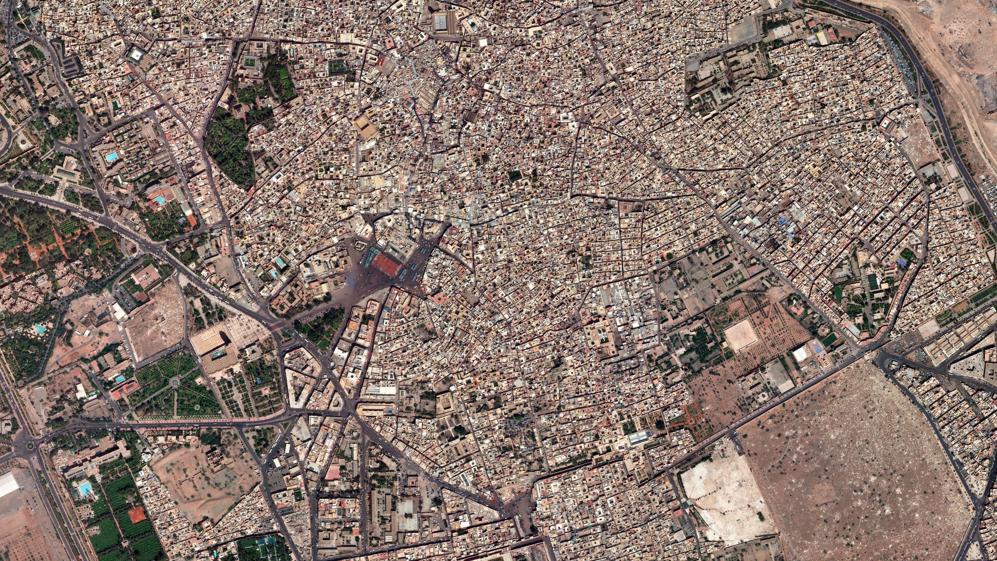
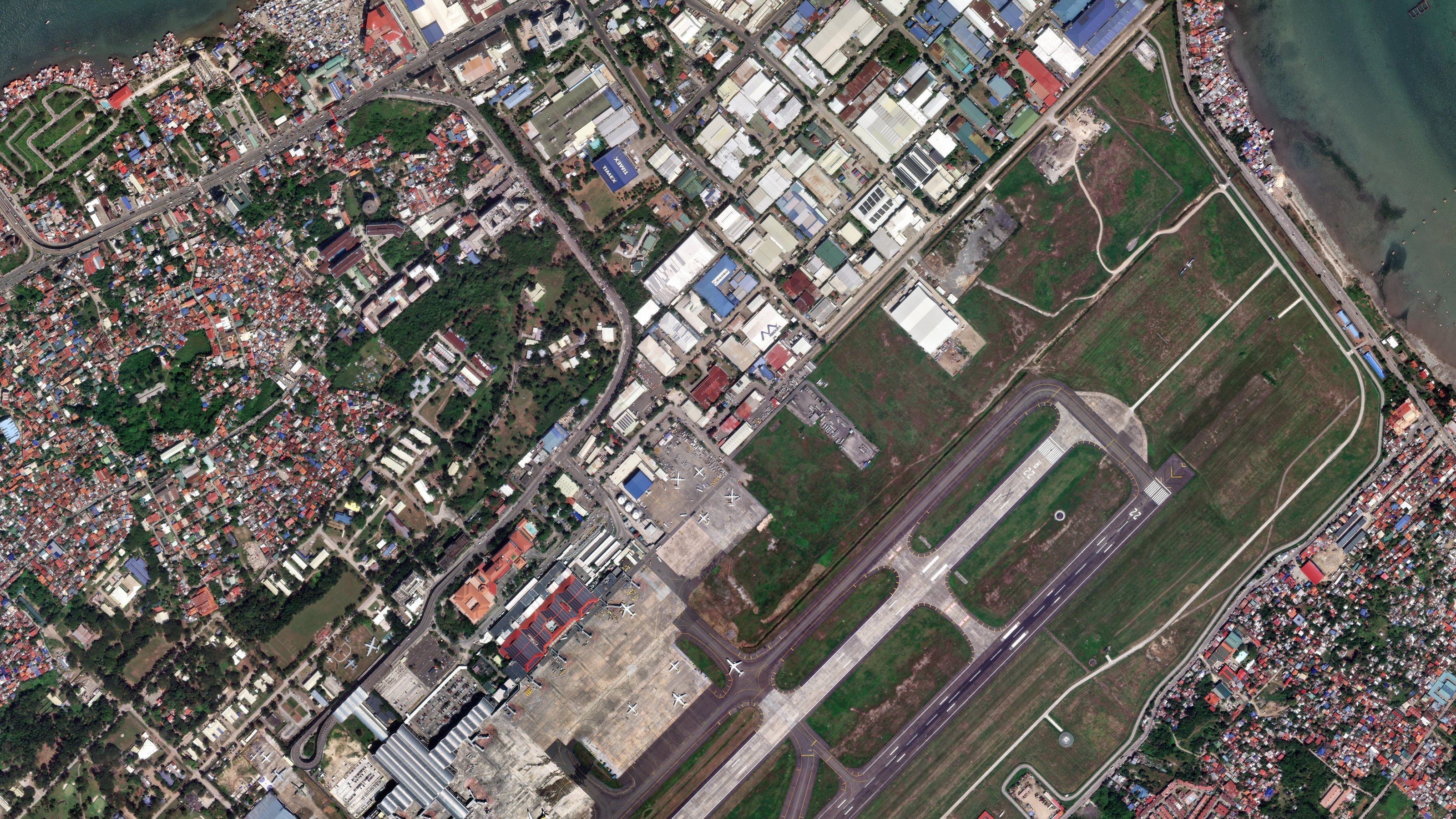
05Cadastre & land administrationOrthorectified coverage · Mosaics and basemaps · Feature extraction · Change detection · Elevation models · Land use
- Optical
- Elevation & 3D
- SAR
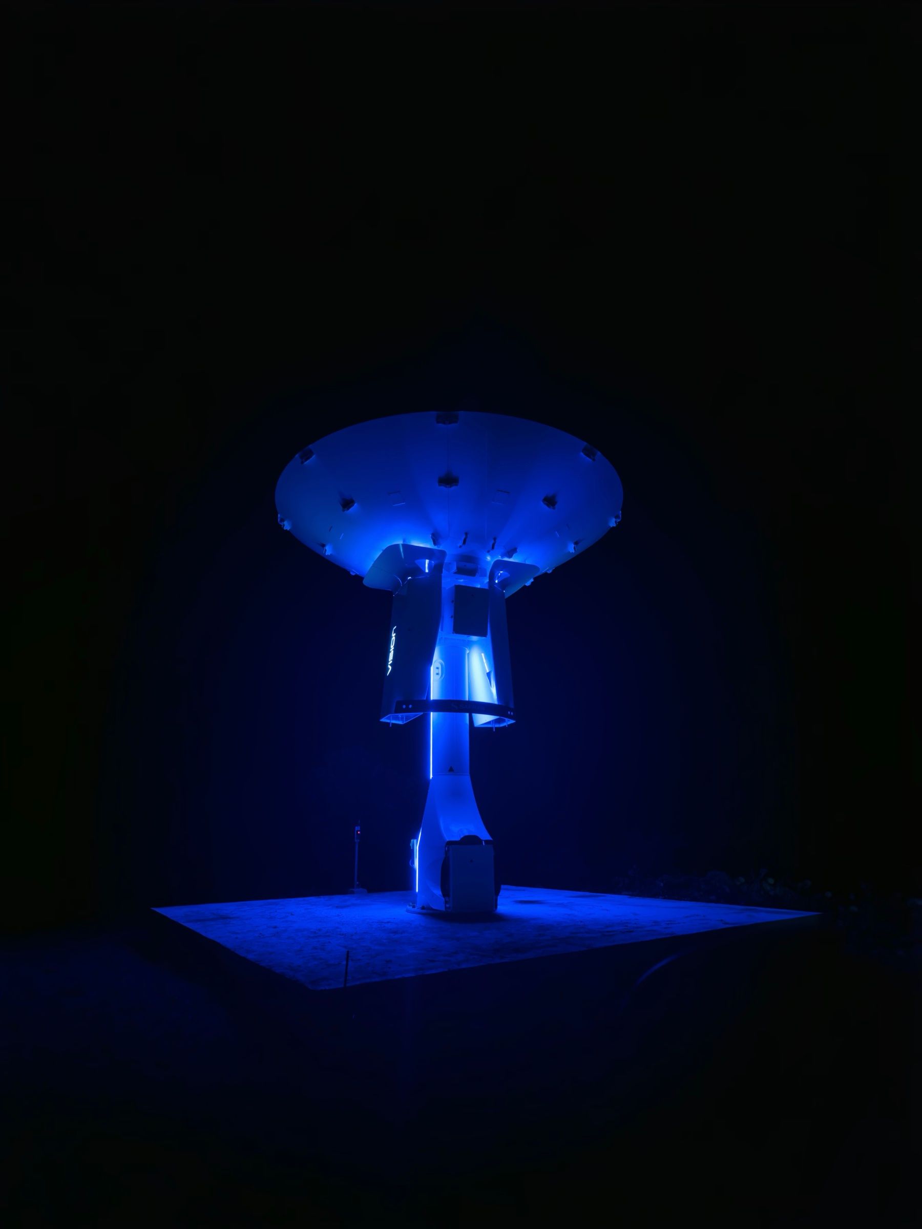
06Space & ground segmentGround stations · Operations and maintenance · Licensing and coordination · Sovereign satellites · Hosted payloads · Non-Earth imaging
- Ground segment
- SAR
- Optical