3D products
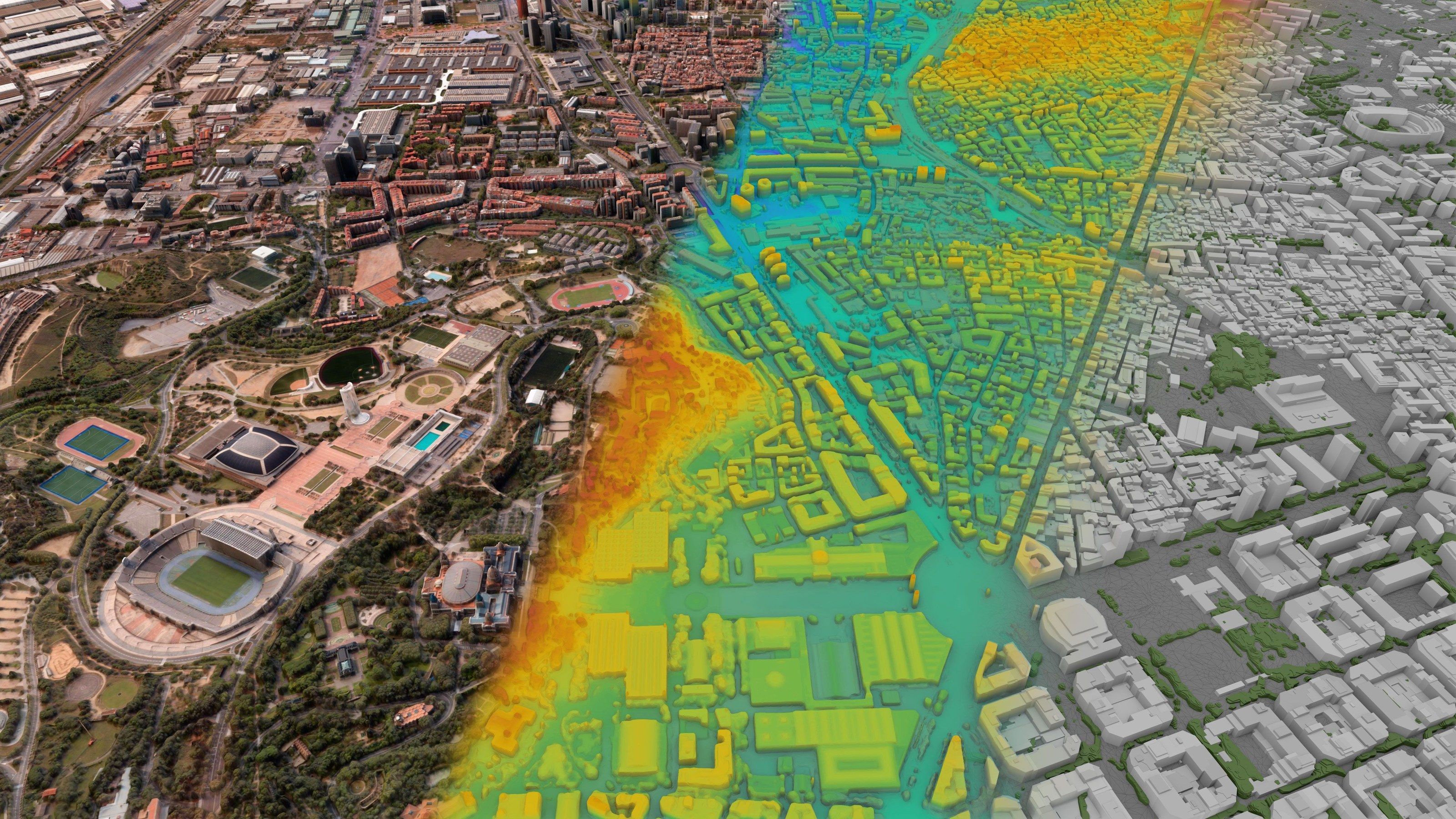
Surface and terrain models, 3D buildings and height change, from very high resolution stereo imagery and SAR.
- 15 cmOptical
- 30 cmOptical stereo
- 25 cmSAR
Models
| Product | Content |
|---|---|
| DSM | Digital surface model: ground, buildings and vegetation |
| DTM | Digital terrain model: bare ground, objects removed |
| nDSM | Object height above ground: buildings and trees |
| 3D buildings | Footprints at measured height, LOD1 blocks or LOD2 with roof shapes |
| True orthophoto | Imagery rectified against the surface model, no building lean |
| Terrain derivatives | Contours, slope, aspect, hillshade |
| Volumes | Stockpiles, quarries, landfills, cut and fill |
| Visibility | Line of sight and viewsheds |
Change detection
- 01
New and demolished buildings
Found by comparing surface models between dates, not only images.
- 02
Height change
Added floors and extensions, measured in metres.
- 03
Earthworks
Excavation and fill volumes between two dates.
- 04
Ground movement
Subsidence and landslides at millimetre scale, from SAR interferometry.
- 05
Vegetation
Tree loss and growth near lines, roads and buildings.