Water monitoring
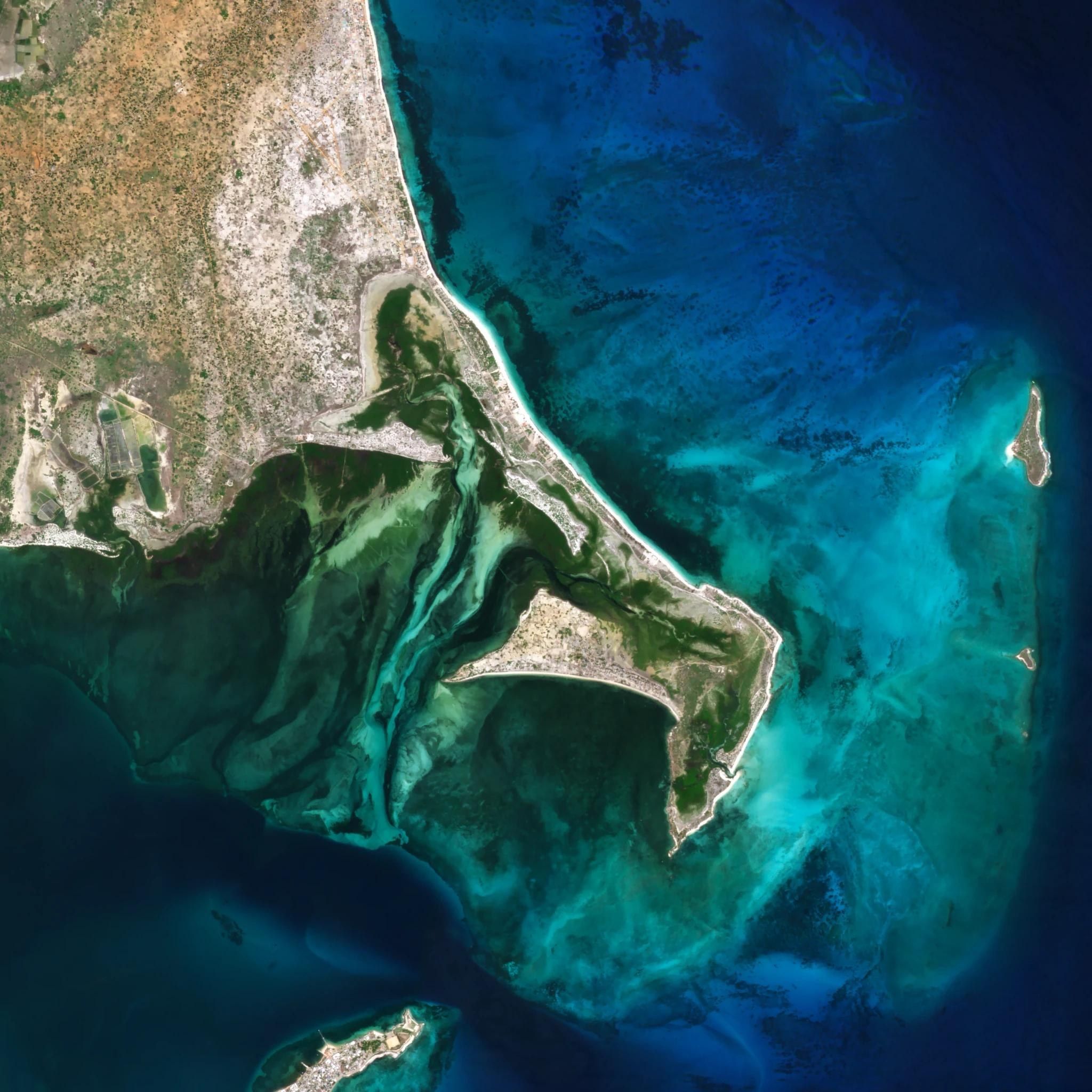
Water quality, extent and pollution in lakes, reservoirs, rivers and coastal waters, from optical, hyperspectral, thermal and SAR imagery.
- 3 mOptical, daily
- 5 mHyperspectral
- 30 mThermal
- 25 cmSAR
Parameters
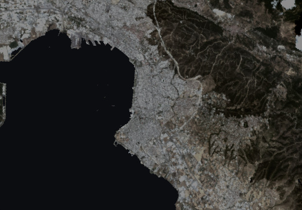 Chlorophyll-a · 443 / 490 / 510 / 555 nm
Tanager-1 · 12 July 2025 · 30 m · medians over the sea in the frame
| Parameter | Thermaic Gulf |
|---|---|
| 0.94 mg/m³ | |
| Cyanobacteria (phycocyanin) | Not detected |
| 1.3 FNU | |
| 0.66 g/m³ | |
| 0.012 m⁻¹ | |
| 7.2 m | |
| Surface temperature | Thermal imagery |
| 8,739 ha | |
| 9 objects |
0.4123
mg/m³Outputs
- 01
Quality maps
Parameter maps per date, calibrated with in-situ samples where they exist.
- 02
Algal blooms
Blooms and cyanobacteria flagged in reservoirs, lakes and bathing waters.
- 03
Reservoirs and lakes
Surface area per date; volume where bathymetry is available.
- 04
Floods
Flood extent through cloud and at night.
- 05
Pollution
Oil slicks, outfall plumes and floating debris at sea and along the coast.
- 06
Coast and sediment
Shoreline position, erosion and river sediment plumes.
- 07
Reporting
Indicators for Water Framework Directive and bathing water reporting.