totalview
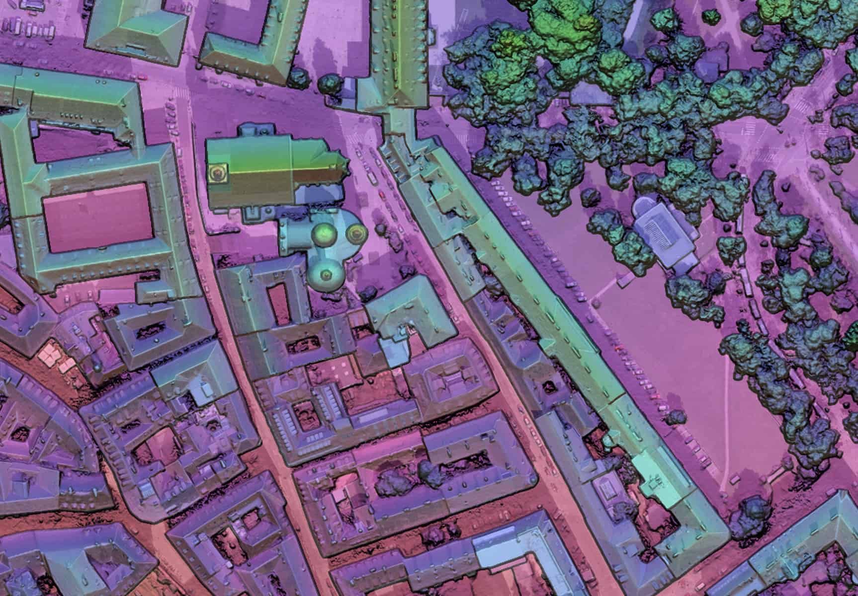
Colour-coded surface model of a city block: buildings, trees and streets by height

Solutions

CATALYST

Remote sensing and photogrammetry software by PCI Geomatics, Canada. Supplied, installed and supported in Greece by TotalView, and used in our own orthorectification and mosaicking.

  • 745+Algorithms, Python API
  • 50+Optical and SAR satellite sensors
  • 1982PCI Geomatics, founded

Editions

Professional

Use
Desktop suite for analysts and production teams
Operation
Interactive tools; batch runs through Modeler and the Python API
Deployment
Workstation, or a central server holding the data
Licensing
Per workstation, or floating from a licence server
Enterprise

Use
Production system for repeatable, automated pipelines
Operation
Unattended; workflows triggered by new acquisitions or on demand
Deployment
On-site servers or cloud
Licensing
By processing core; monthly or annual subscription

Professional

ModuleContent
OrthoEngineRigorous and RPC models for optical, SAR and aerial imagery; GCP and tie point collection; orthos and mosaics
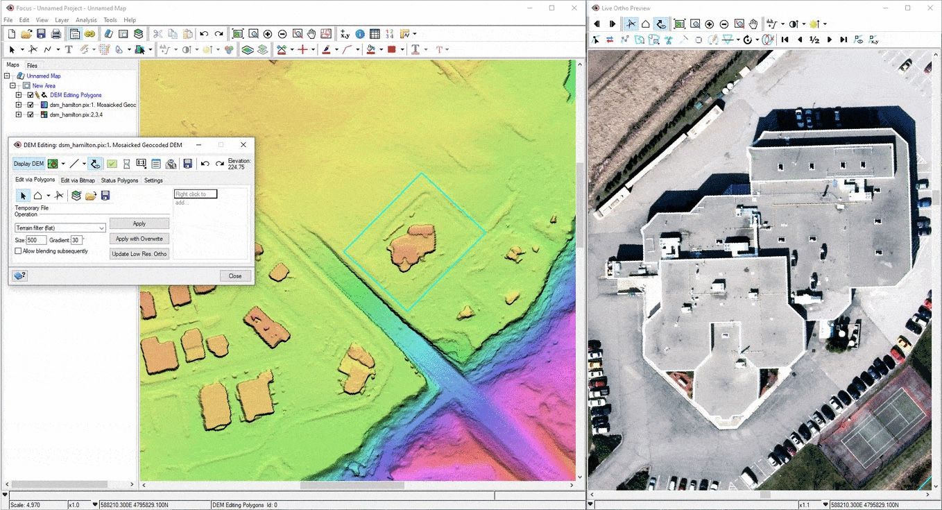
FocusViewing, editing and analysis; DEM editing with a live ortho preview
DEM extractionSurface models from stereo and multi-view imagery, by semi-global matching
Pansharpening, ATCORPan and multispectral merge; atmospheric correction
Object AnalystSegmentation and object-based classification with machine learning
SARRadar orthorectification, polarimetry and compact polarimetry, InSAR elevation
Modeler, Python APIVisual workflows and scripted access to every algorithm
Focus: DEM editing, live ortho preview
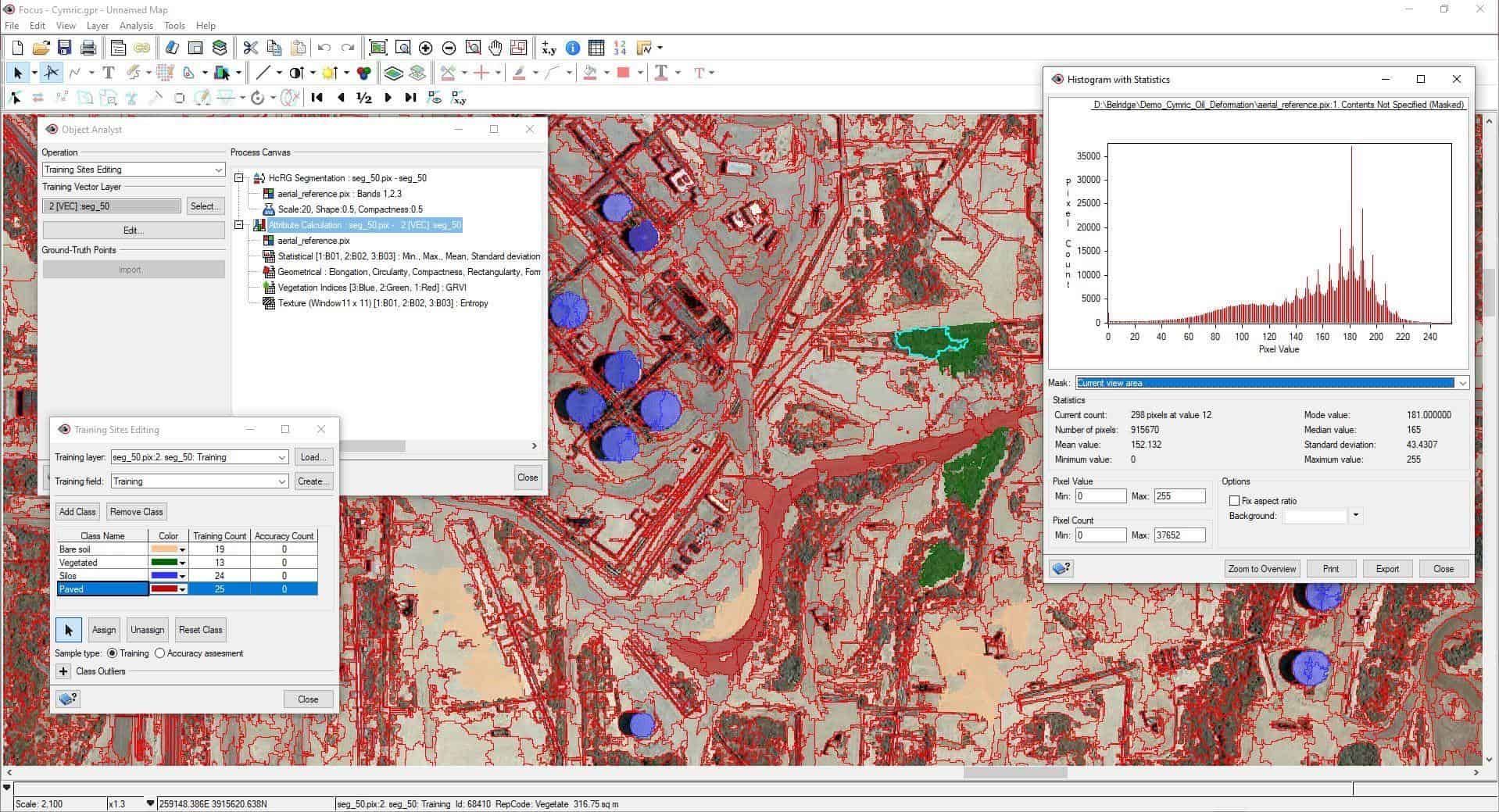
Focus: Object Analyst, training sites and statistics
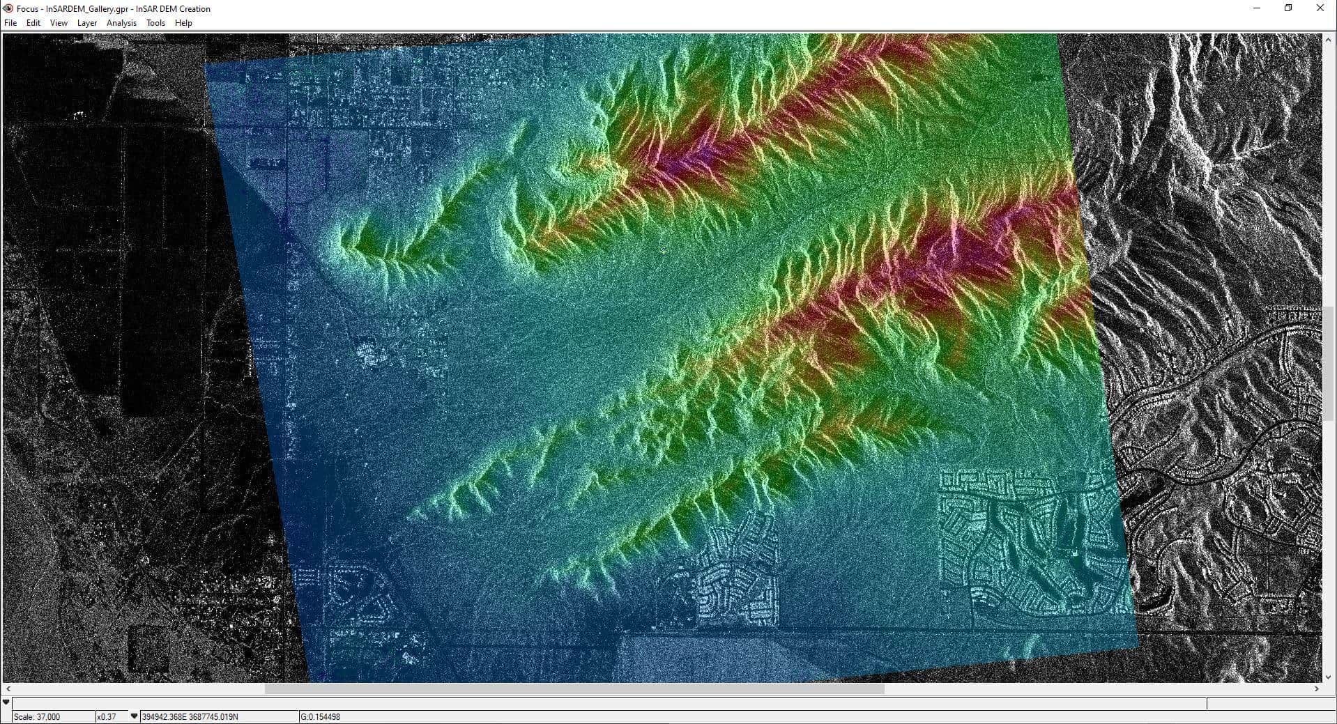
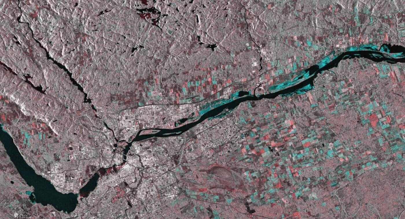
Focus: InSAR DEM over SAR amplitude
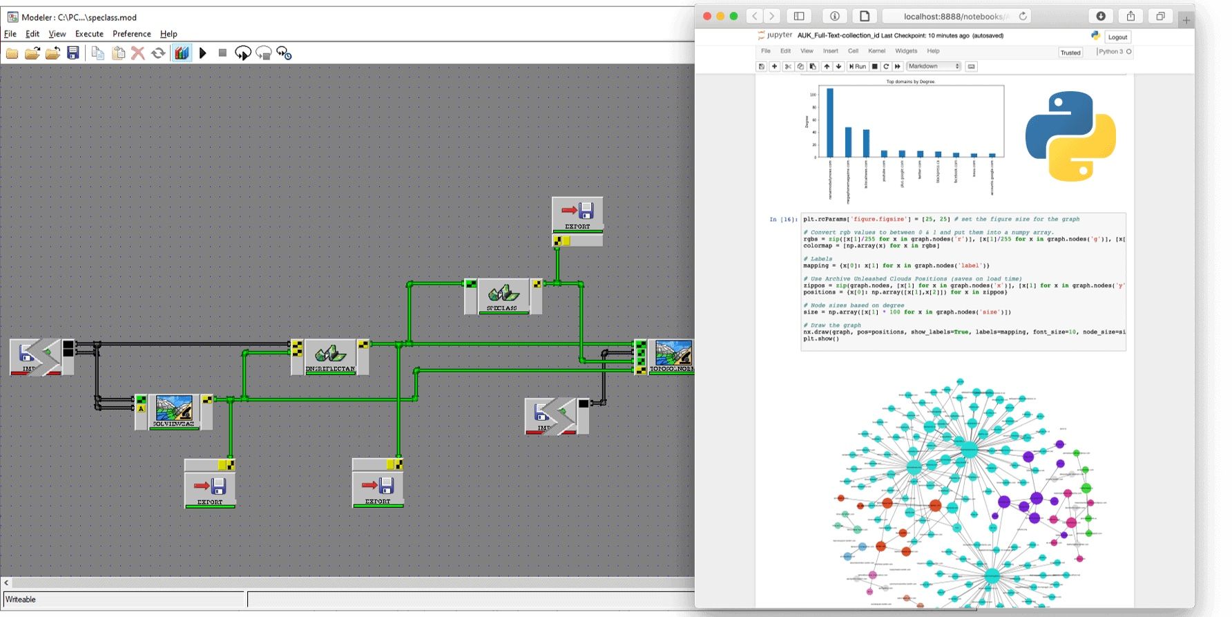
Modeler workflow and the Python API

Central processing

  1. 01

    Server

    Professional installed on a Windows or Linux server, beside the image archive

  2. 02

    Licences

    One licence server issues floating licences across the network, Windows and Linux mixed

  3. 03

    Batch

    Modeler and Python workflows run on the server against the central data

  4. 04

    Review

    Analysts open the results in Focus for editing and QA

Automatic GCP collection

  1. 01

    Reference

    An orthorectified image or a chip database as the control source

  2. 02

    Matching

    Image correlation locates each point in the raw image; FFT phase matching for SAR

  3. 03

    Elevation

    A DEM supplies the height of every GCP

  4. 04

    Model

    Model computed, residuals listed per point, outliers dropped

  5. 05

    Ortho

    Images orthorectified and mosaicked

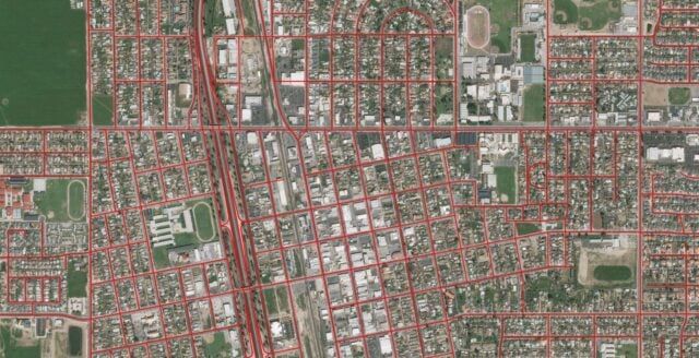
Orthorectified imagery aligned to road centre lines

Enterprise

  1. 01

    Automatic ortho production

    Raw scenes ingested, GCPs and tie points collected, images orthorectified, with no operator

  2. 02

    Analysis-ready data

    Acquisitions and archives turned into aligned image stacks over time

  3. 03

    Base maps and value-added products

    Ortho-mosaicking spread across cores, servers or cloud

  4. 04

    Continuous monitoring

    Runs in the background; new imagery over an area starts the workflow

  5. 05

    On-demand production

    Workflows started at short notice, for emergency response and defence

Flood extent from SAR, produced in Enterprise

Professional bundles

BundleContentAlgorithms
EssentialsViewer and editing interface, generic photogrammetry, ortho production toolkit, mosaic tool, Python API300+
SatelliteEssentials, satellite ortho suite, DEM extraction, pansharpening, Object Analyst, ATCOR500+
SAREssentials, radar ortho suite, DEM extraction, polarimetry and compact polarimetry, Object Analyst500+
AerialEssentials, airphoto and ADS ortho suites, historical airphotos, DEM extraction, Object Analyst500+
CompleteSatellite, SAR and Aerial together700+